Population Density Map of Greece
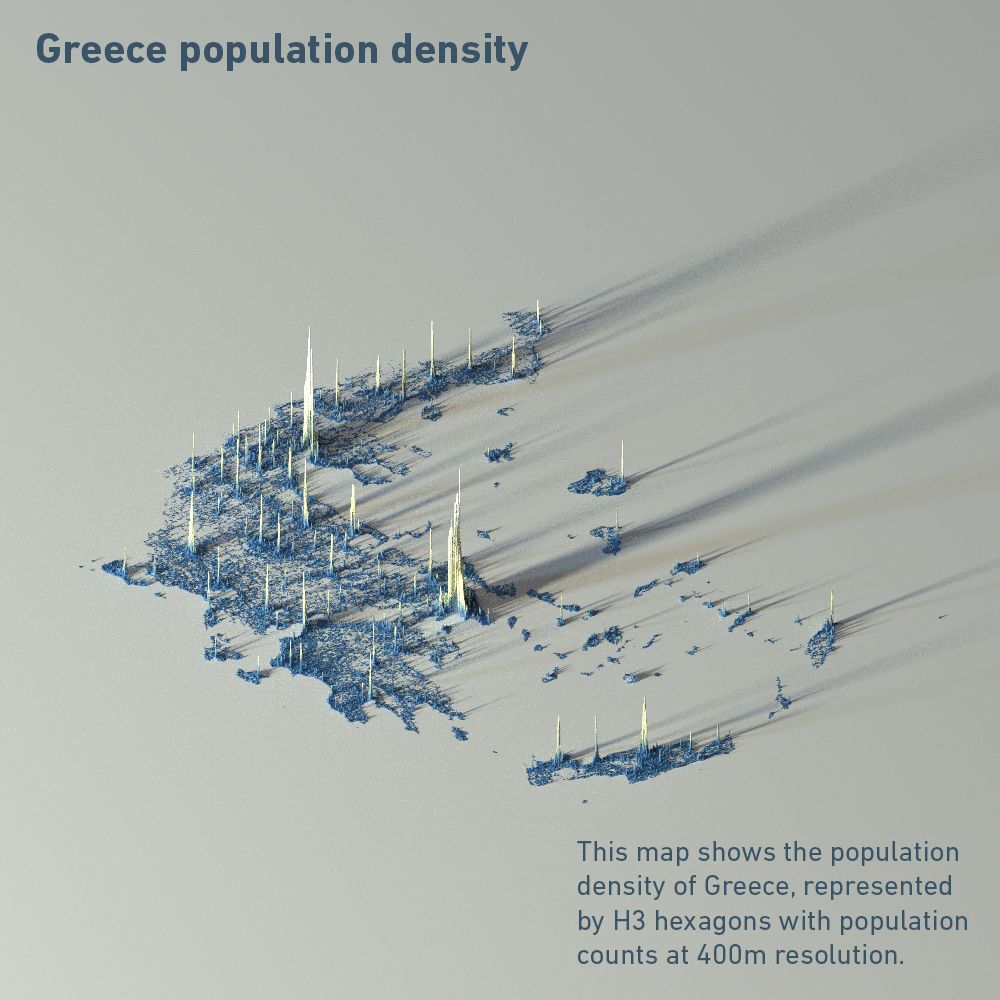
In this map of Greece population density, data is represented by H3 hexagons with population counts at 400m resolution, as is provided in the Kontur Population dataset (2023). Population calculations are based on the Global Human Settlement Layer (GHSL), which produces global spatial information about the human presence on the planet over time.
Coded with R, thanks to Spencer Schien.